Snow Coming: Winter Storm Warning To Take Effect For Magic Valley
The National Weather Service has announced a winter storm warning to take effect beginning in the late evening hours of November 26.
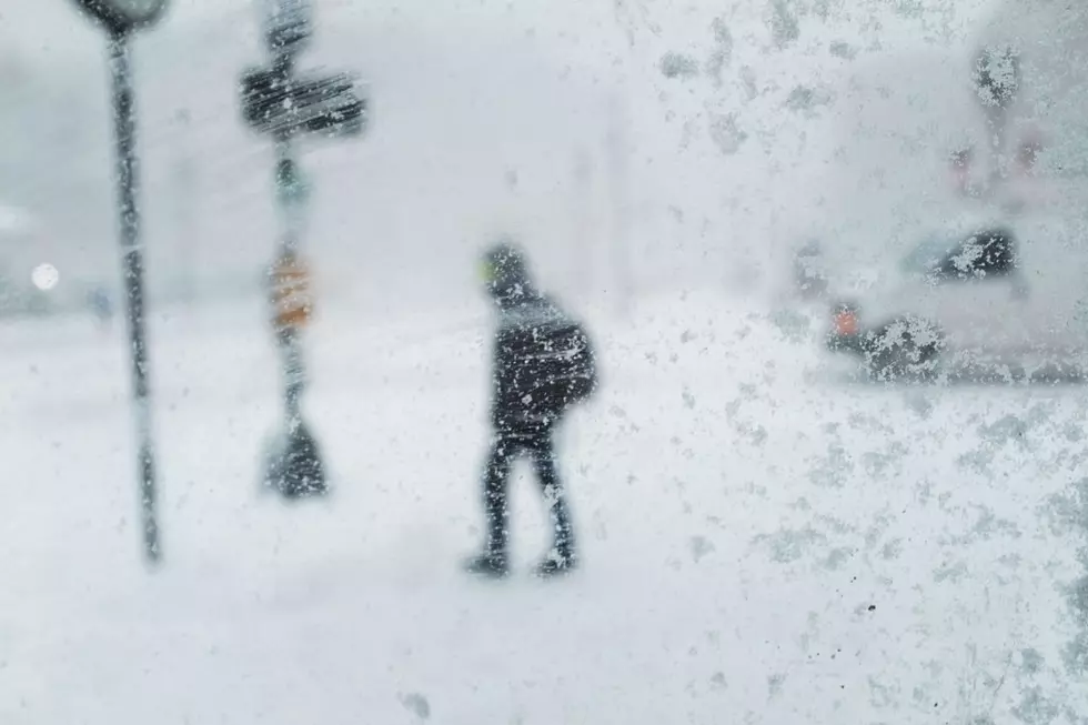
According to a 12:30 p.m. (November 25) update from the National Weather Service, a winter storm warning is set to take effect at 11:00 p.m. on Tuesday, November 26, 2019, and is expected to last for roughly 24 hours. A storm system being tracked, and approaching from the northwest, could bring snow accumulations of between four and eight inches, according to current weather data.
A 40 percent chance of snow after 11:00 p.m., Tuesday, is currently forecast for the southern portion of Idaho, extending from Ada County, southeast to Twin Falls County. The western portion of Twin Falls County is where the heavier accumulations are projected to fall.
Wind gusts between 20 and 30 miles per hour are also expected during this time period, with a day time high in the upper thirties for Wednesday (November 27). The winter storm warning will remain in effect until 11:00 p.m. As much as 10 inches of snow are expected to fall over the next 72 hours in the mountains (Boise, northern edge of Western Magic Valley and Camas Prarie) above 6,000 feet.
Those traveling throughout southern Idaho should expect slippery roads, and noticeably gusty conditions. Overnight temperatures for the Magic Valley for Tuesday and Wednesday are expected to range from 19 to 22 degrees, with a 10 to 20 percent chance of precipitation.
For more details on the current winter storm warning, click here.
More From News Radio 1310 KLIX