Idaho’s Water Outlook is Even Better According to Latest Report
TWIN FALLS, Idaho (KLIX) The water outlook for much of Idaho is even better with more snow falling in February according to the latest government report.
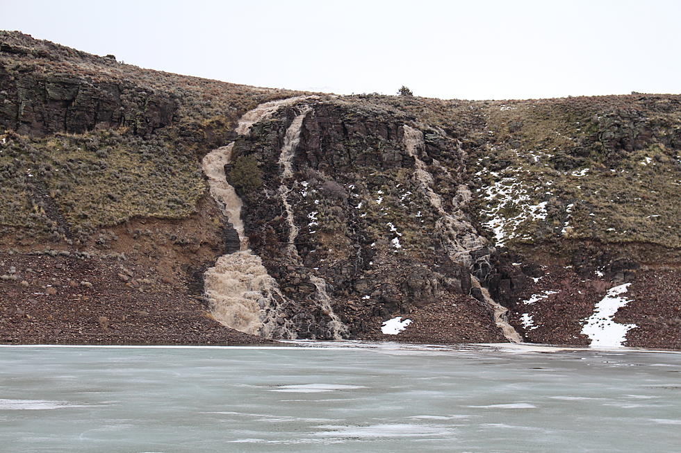
The United States Department of Agriculture released its outlook for water on March 1 and says many areas have seen record snowfall. In its summary the report says several of Idaho's basins have received between 150% to 500% above average precipitation this year. Some areas, such as the Wood River Basin, hadn't seen current snow levels since the 1960's.
Overall, the report says February snowfall put the icing on the cake, but more precipitation is expected this month. High runoff is expected this spring and currently many reservoirs in southern Idaho are releasing water to make room. Click on the link for the full Idaho Water Supply Outlook Report.
Here is a closer look at specific basins in Southern Idaho from the USDA report:
Wood River Basin:
Monthly precipitation in the Wood & Lost River basins, and ranged from 250 to 500% of average, with the highest amounts observed in the Big Lost basin (458%). Every SNOTEL site in the Wood & Lost River Mountains reported record monthly precipitation for February, and most of these sites were installed in 1980. Drainages farthest to the east received the least precipitation, but still more than twice normal amounts. Water year-to-date precipitation now ranges from 150 to 210% of average in the Wood and Lost River basins. Similar to precipitation observations, there’s less snow relative to normal in the eastern most drainages, but still above normal snow conditions exists in Camas-Beaver Creeks, Birch-Medicine Lodge Creeks, and Little Lost basins. Snowpack is near or at record levels in the Big Lost, Fish Creek, Little Wood and Big Wood basins.
South Side Snake River Basin:
For the third consecutive month, well above normal precipitation was observed in the Southside Snake River basins. Monthly precipitation ranged from 150 to 190% of average, and water year-todate precipitation increased to 140 to 155% of average. Snowpack ranges from 130 to 140% of median, with the greatest amounts in the Raft, Goose-Trapper, and Owyhee River basins. A rain-onsnow event in early February resulted in widespread high streamflows across most of this area, and melted most of the low elevation snowpack.
Upper Snake River Basin:
Precipitation was above average for the third consecutive month, with individual basins generally receiving 200 to 350% of average! Less precipitation was observed in the Henrys Fork and Teton River drainages (~210%). Water year-to-date precipitation ranges from 150 to 200% of average in these Upper Snake basins. Snowpack ranges from 125 to 200% of median in the Upper Snake basins, with greater amounts higher up in the system. As a whole, the Snake River above American Falls snowpack is 152% of median.
More From News Radio 1310 KLIX


