Look at How Much Snow Southern Idaho Had a Year Ago
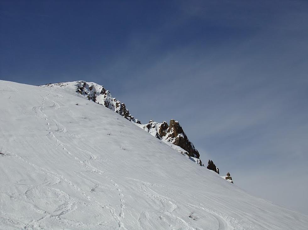
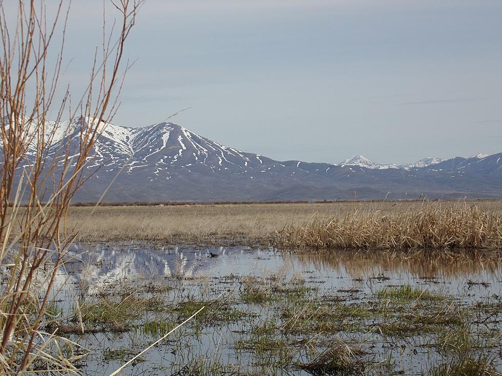
TWIN FALLS, Idaho (KLIX) One look at maps provided by the National Weather Service in Boise obviously shows southern Idaho and much of the northwest hasn't gotten as much snow as it did the same time last year. In satellite images shared on social media, much of southern Idaho remains without much snow cover, as opposed to last year, when all of Idaho was covered with snow. This year, according to the Natural Resources Conservation Service, the water supply outlook for the 2018 water year is a bit behind. The water year started on October 1, 2017, and precipitation levels range from 70 to 130% of normal. According to Ron Abramovich, Water Supply Specialist with INRCS, September started out good for snowpack, but by December conditions were much dryer. “The good news for water users is that last year’s high snowpacks and runoff primed the hydrologic system and has kept rivers and springs flowing above average well into this fall and early winter.” said Abramovich, in a prepared statement. The Upper Snake area has the highest snowpack to date with 112% of normal. The Weiser and Owyhee basins are the worst right now with 40% of normal. Abramovich says conditions could improve given the season is not even half way through. He says La Nina conditions could produce wetter conditions in the second half of winter in the Pacific Northwest.
More From News Radio 1310 KLIX


